Chapter 3.1: Borneo - Mt Kinabalu and Kota Kinabalu
Borneo
Some quick context, in case like me not long ago, you’re not familiar: Borneo is the third largest island in the world, comprised of three territories: Malaysia (26%), Indonesia (73%) and Brunei (1%). It has one of the oldest rainforests in the world — home to the endangered, extremely lovable Borneo orangutans — and is one of the most biodiverse regions of the world, though logging and oil and gas industries dominate the island and have had heartbreaking impacts on the ecosystem.
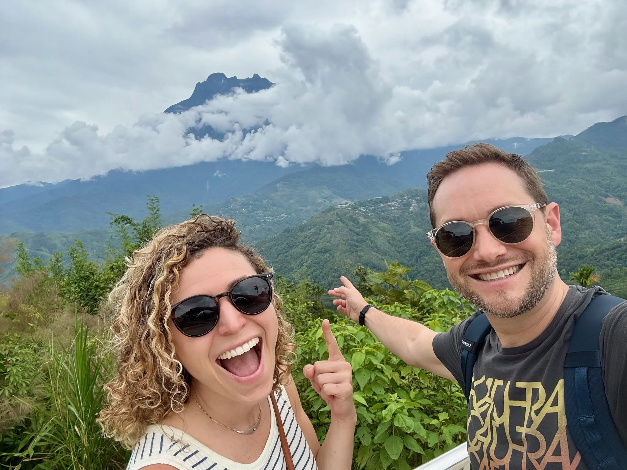
Sabah (northern Malaysian state), where we chose to focus our time, is famed for its rainforests, coral reefs, wildlife AND a seemingly impossible mountain, Mount Kinabalu. It’s the highest peak in Southeast Asia and the third-highest peak of any island on earth. The summit, Low’s Peak, reaches 4,095 meters (13,435 feet) and can be climbed without mountaineering equipment though guides are required.
There was something irresistible about kicking off our trip with such a significant personal physical challenge. Wearing ourselves out completely, getting to total exhaustion, forced to disconnect entirely and focus on nothing but putting my right foot in front of my left on repeat, and letting the enormity of a mountain overwhelm me. I know I have some fellow crazies out there who are relating to this.
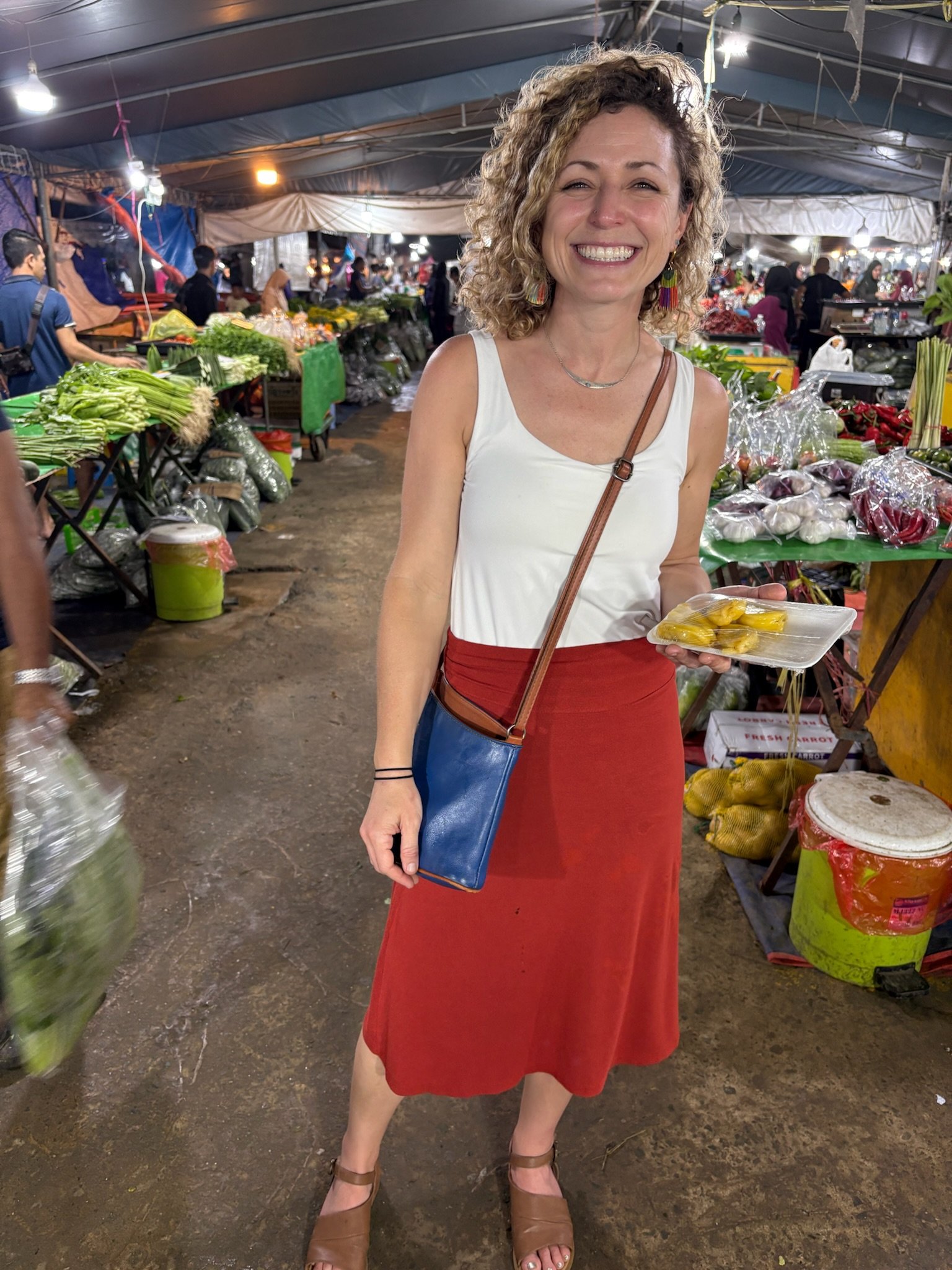
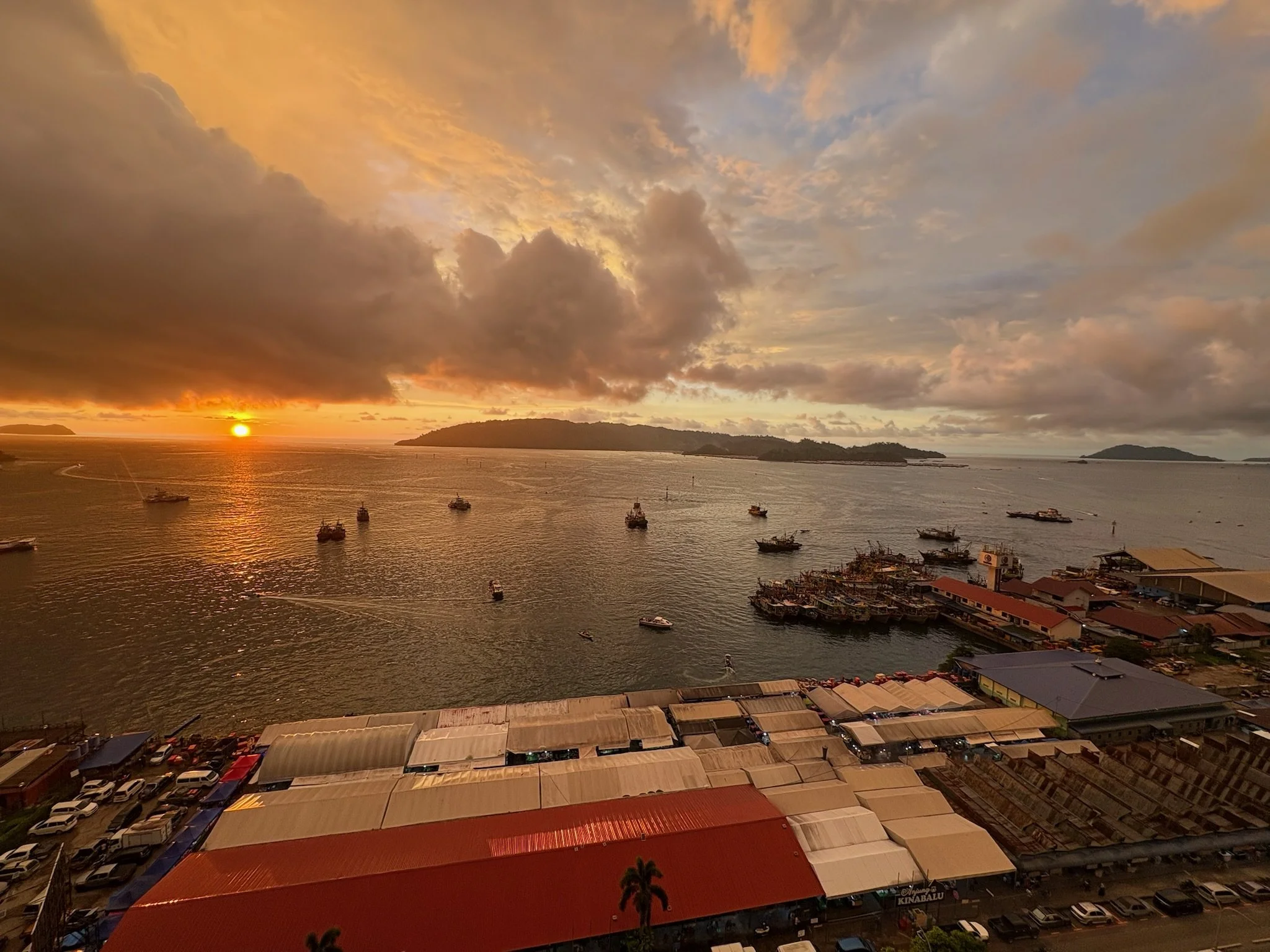
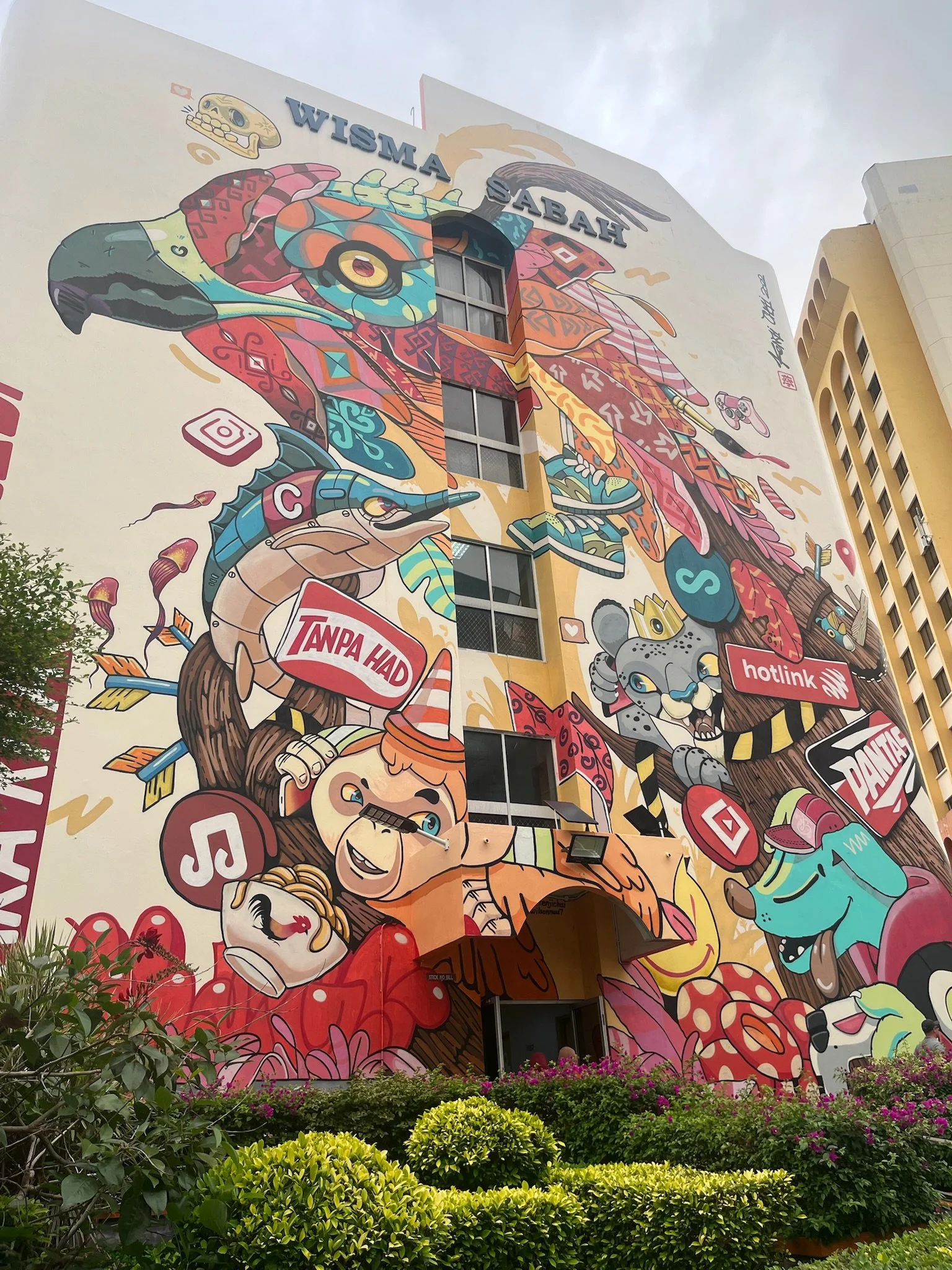
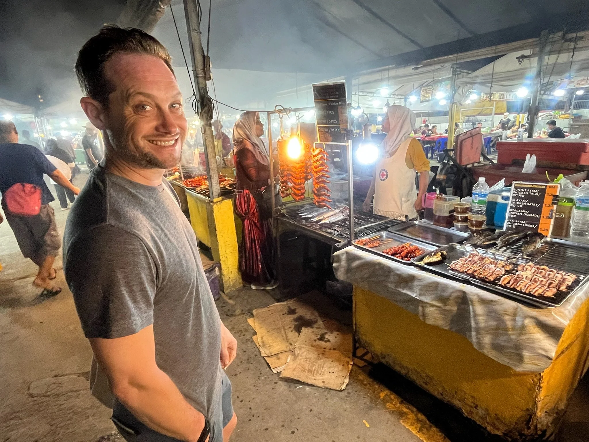
On April 5, we landed in Kota Kinabalu (affectionately called “KK”), the capital of Sabah and were greeted by Saturday night Hari Raya celebrations across the city. We dropped our stuff at the hostel we chose almost entirely off of a photo I saw of a slide going from the second floor lounge to the first floor lobby, since I am a child. We wandered through the sweaty local night market and landed at a restaurant with delicious Nasi Lemak accompanied by a classic serenade of early 2000s ballads.
Mount Kinabalu
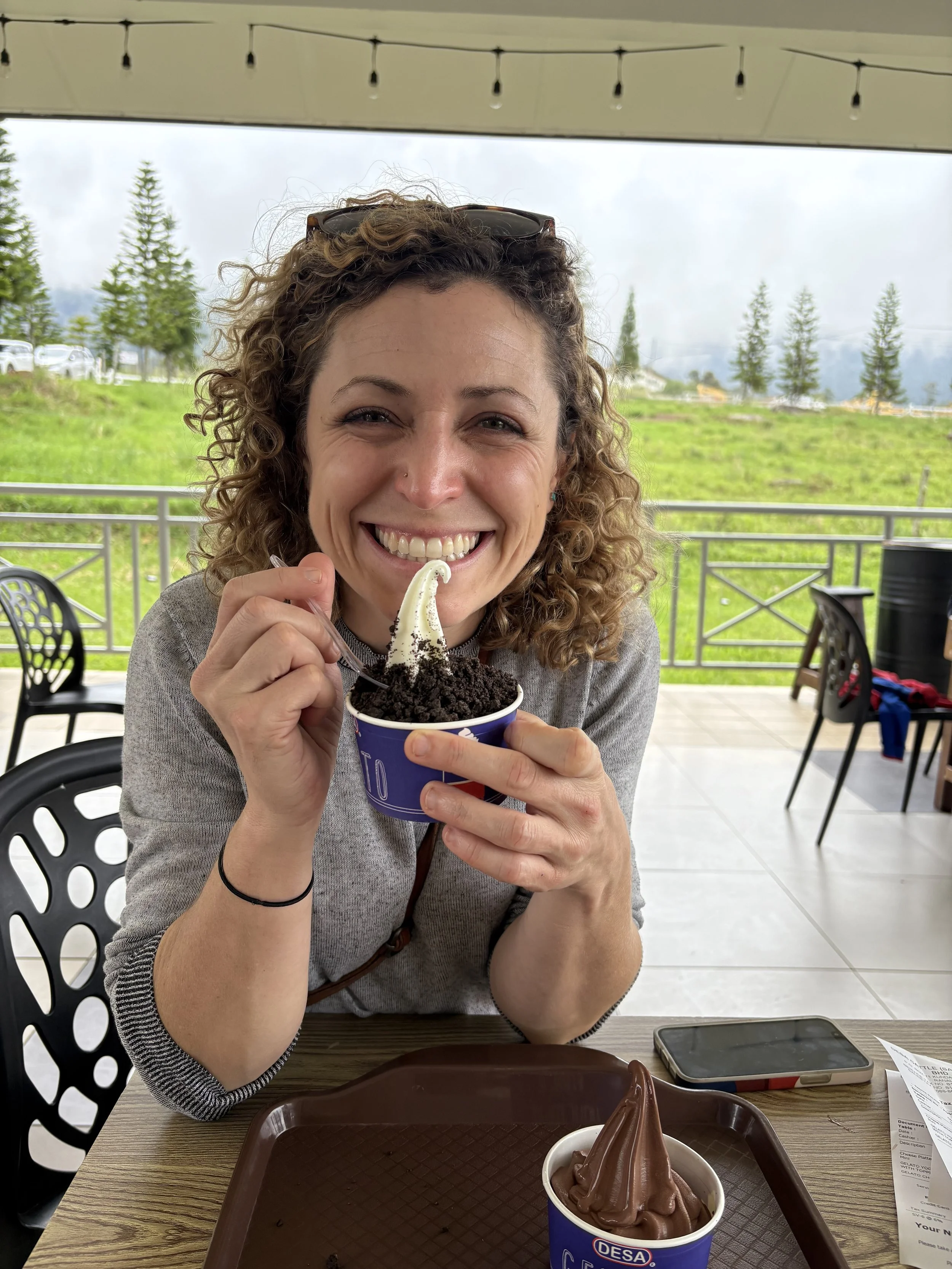
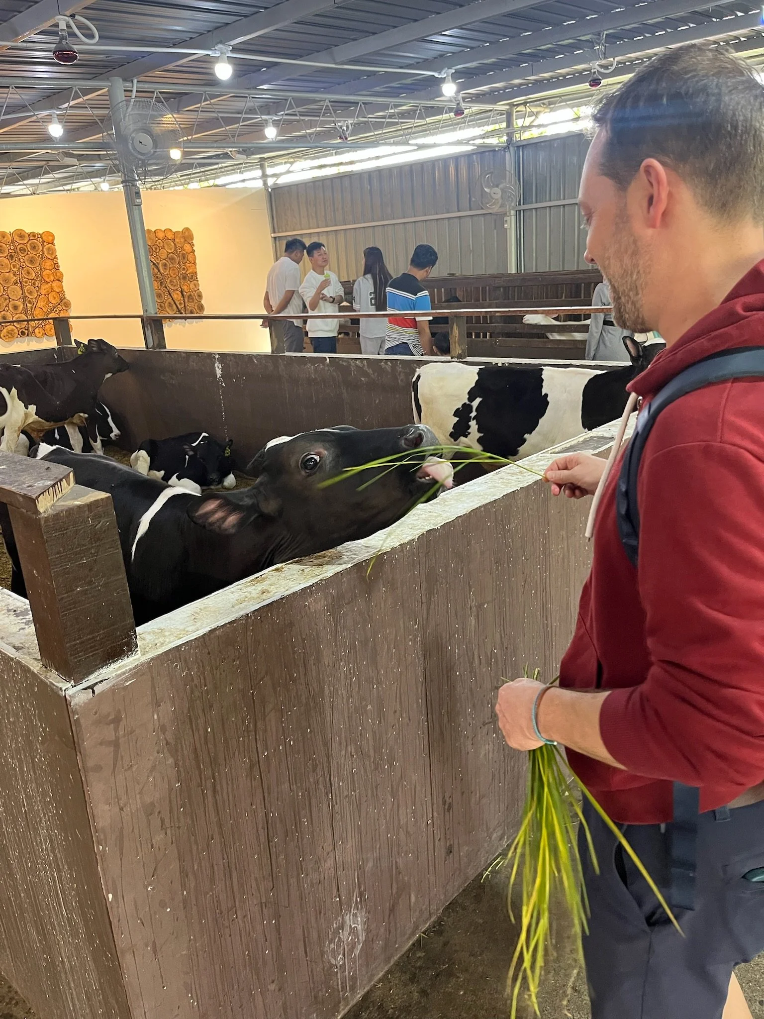
The next morning we started our journey to Mount Kinabalu through a tour we booked that helps coordinate the very complicated permitting system (really the only part of the five month trip that we reserved in advance and our biggest splurge). En route to the mountain, our driver brought us on a scenic journey through small Dusun towns and villages, including stops in the cabbage growing capital of the region and at the locally famed Desa Dairy farm — quite the family vacation destination! The Dusun are the largest indigenous group in Sabah and are the seriously impressive porters that run supplies up and down Mount Kinabalu. Late afternoon, we arrived at the entrance to the park, said goodbye to our driver, and settled into our home for the night, a gorgeous little chalet a few miles from the start of our hike. We opted for the two night option so that we could get a few more hours at a slightly higher elevation but you can also wake up early in KK, make the 2-3 hour journey to the park, and start your hike on the same day.
Around 6am the next day, we had a quick breakfast, met Laurence our mountain guide, and got our official “how this all works” briefing. We hiked with smaller backpacks (everything we would need for the next 24 hours) and were able to leave things at base camp before our final ascent. So, how it all worked:
Day 1:
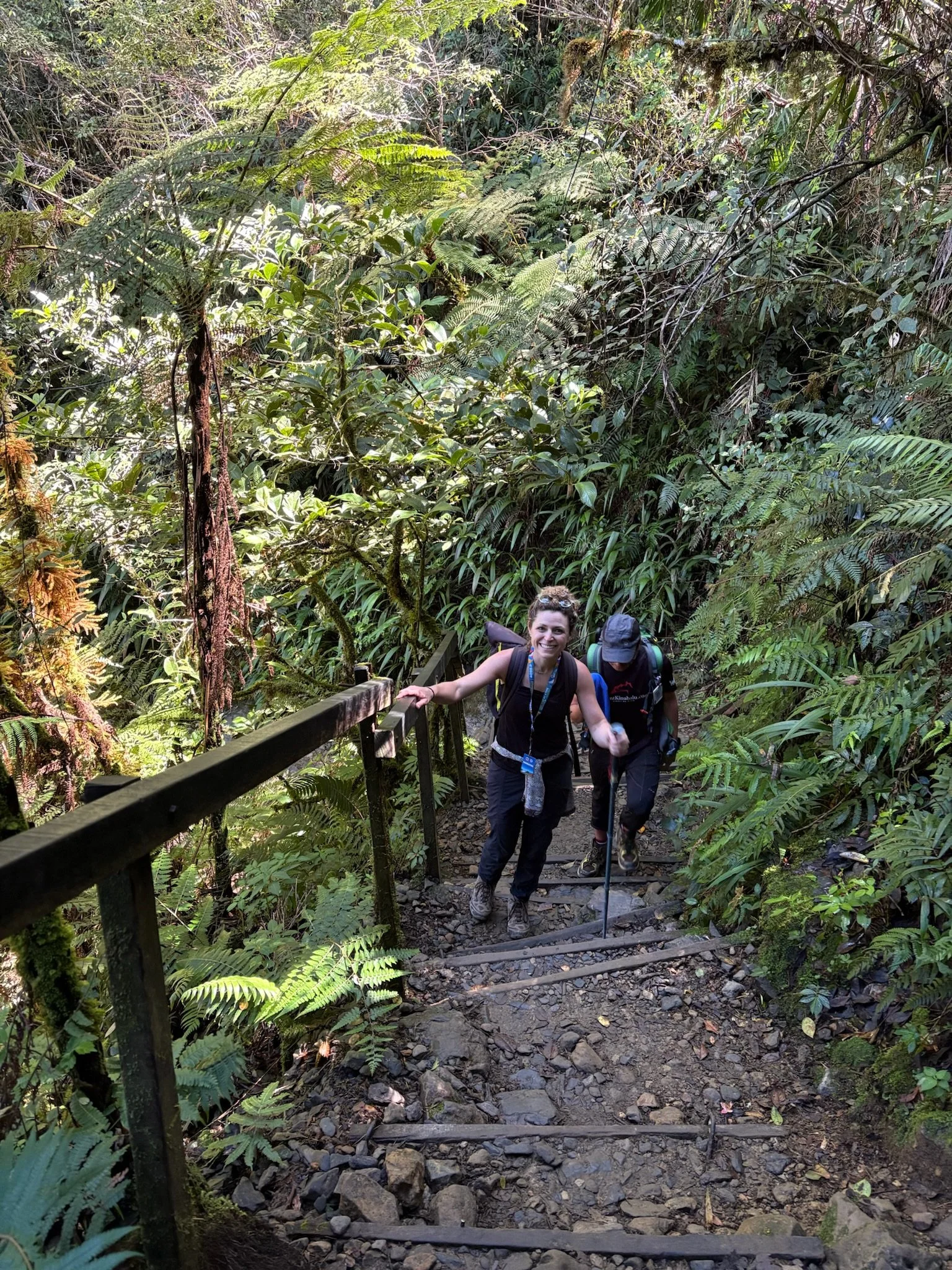
7am: Start of the hike from Timphon Gate. Elevation 1,866 meters (6,122 feet).
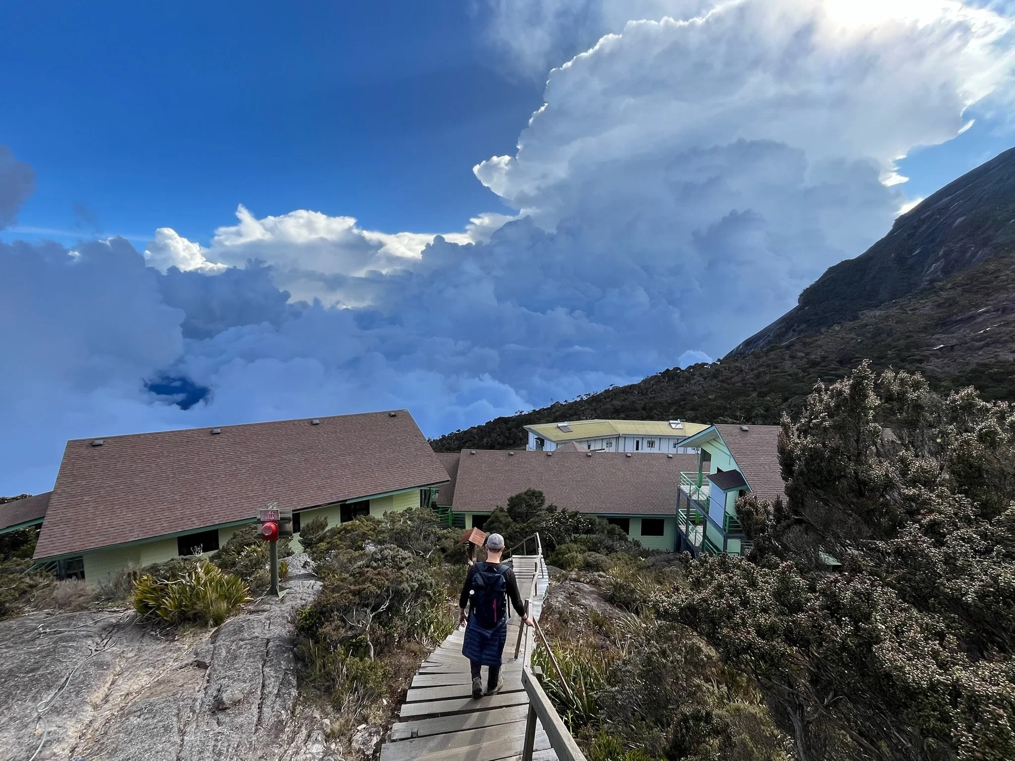
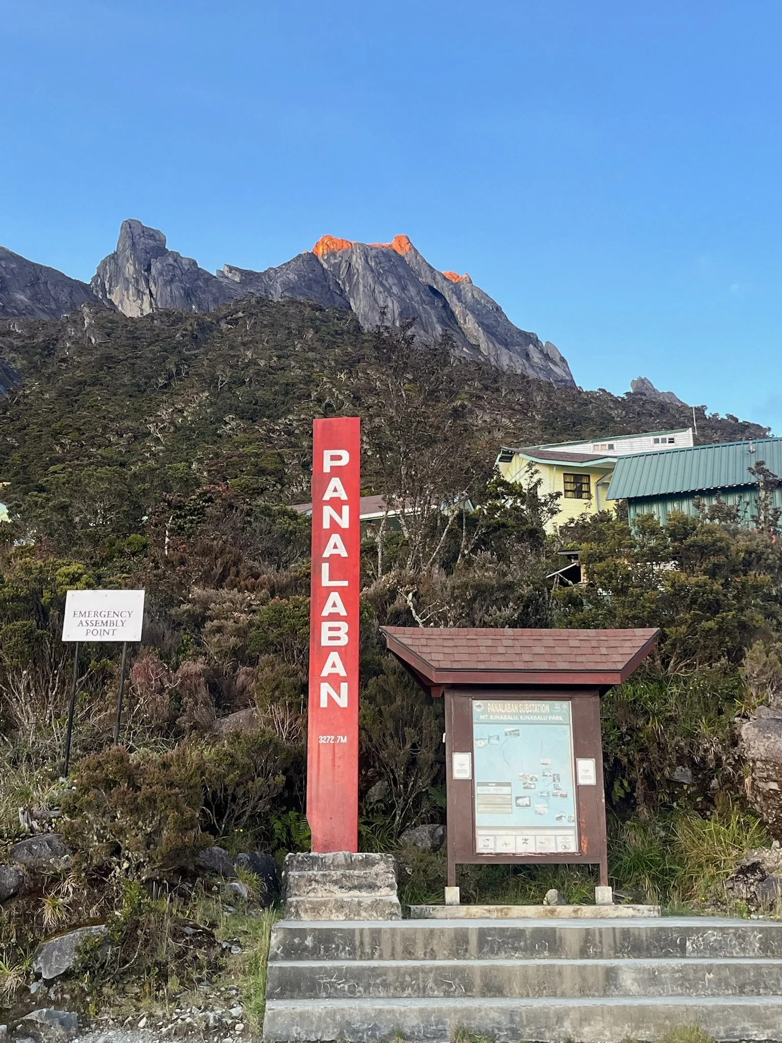
1:30pm: Arrive at base camp, got settled into our shared dorm room, walked around, obsessively hydrated. Elevation 3,270 meters (10,730 feet).
6pm dinner —> 7:30pm sleep.
Day 2:
1:30am: Wake up, obsessively hydrate, eat breakfast, layer up.
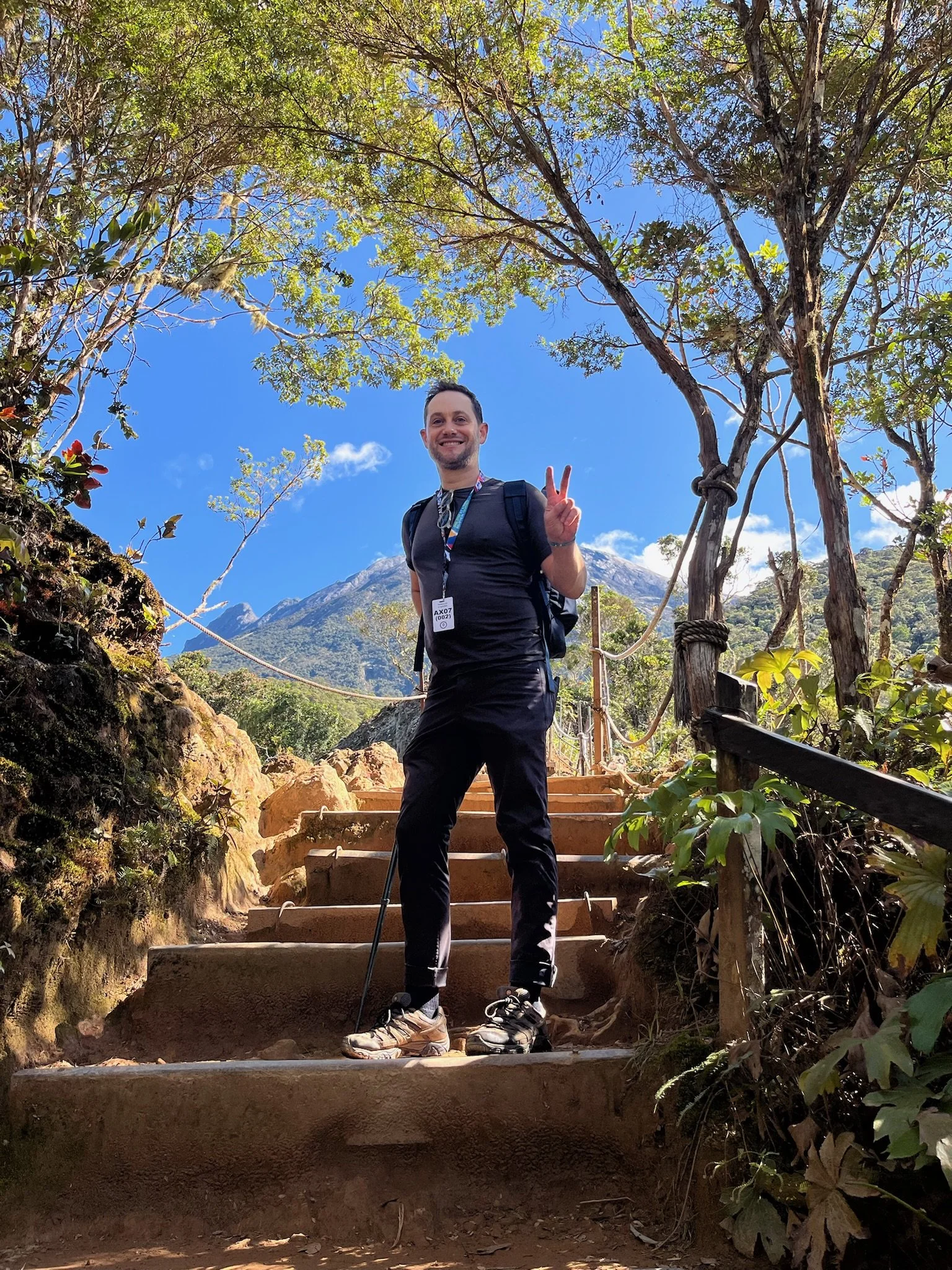
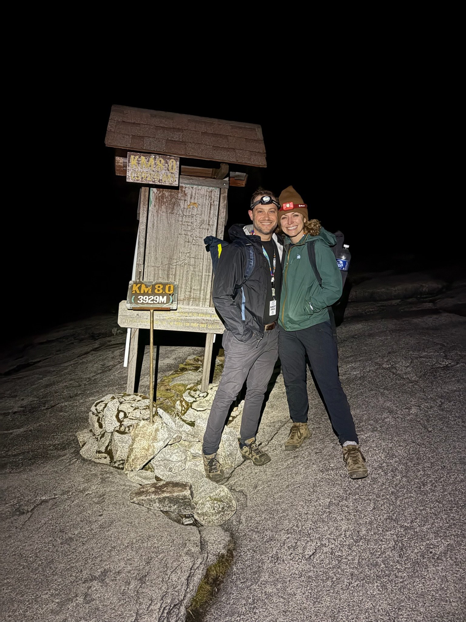
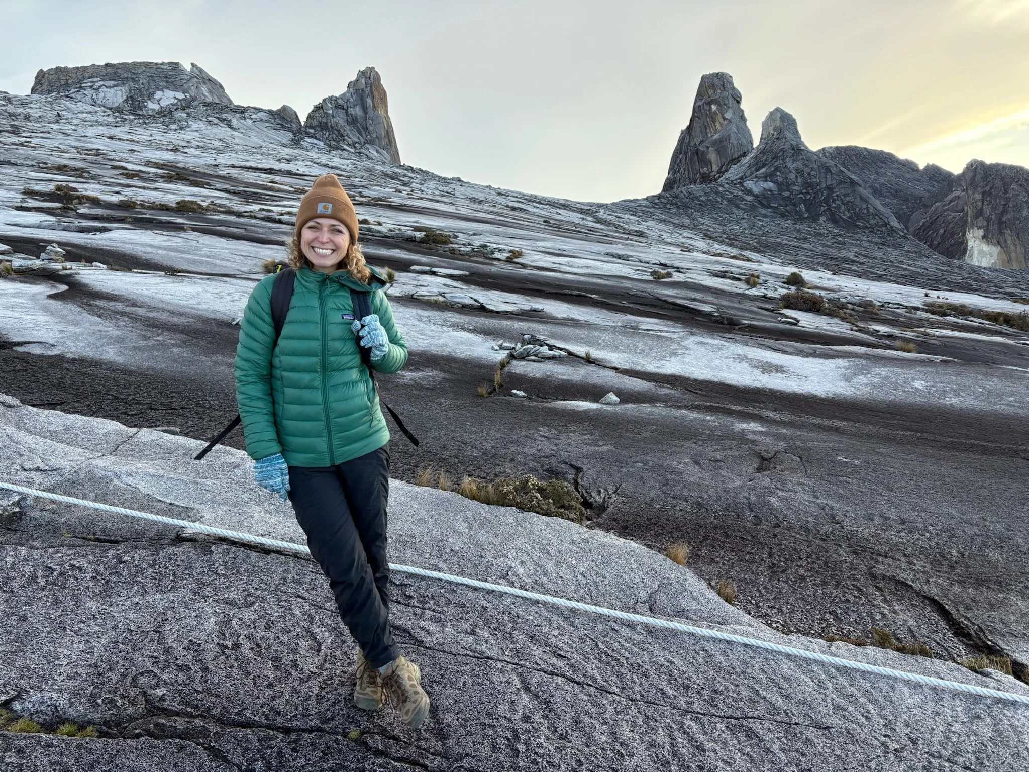
2:30am: Begin hiking to the summit in total darkness with headlamps. It was almost straight up, with a mix of stairs and slanted slab rock that required some rope holding for balance combined with a zig zag walk strategy.
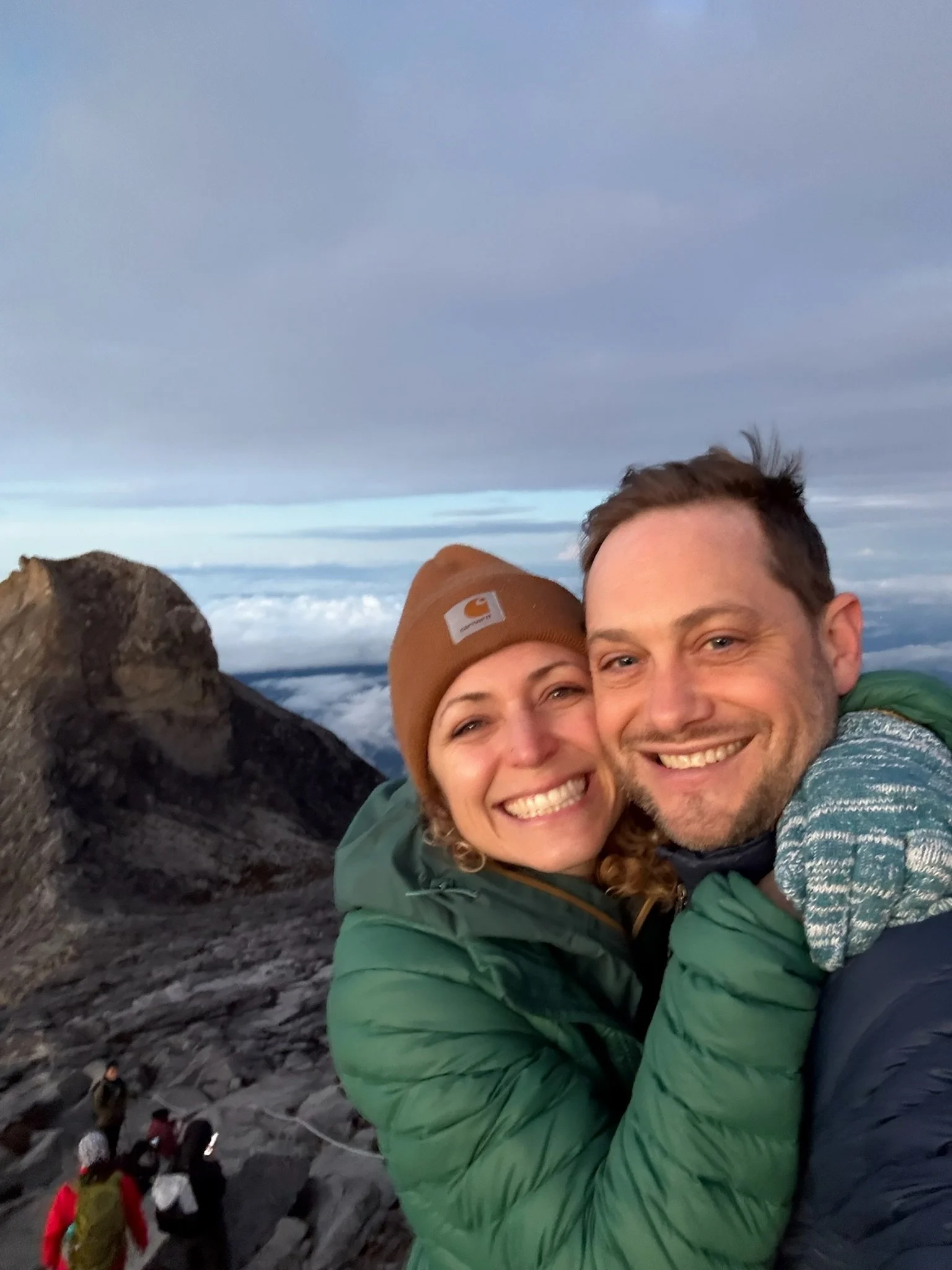
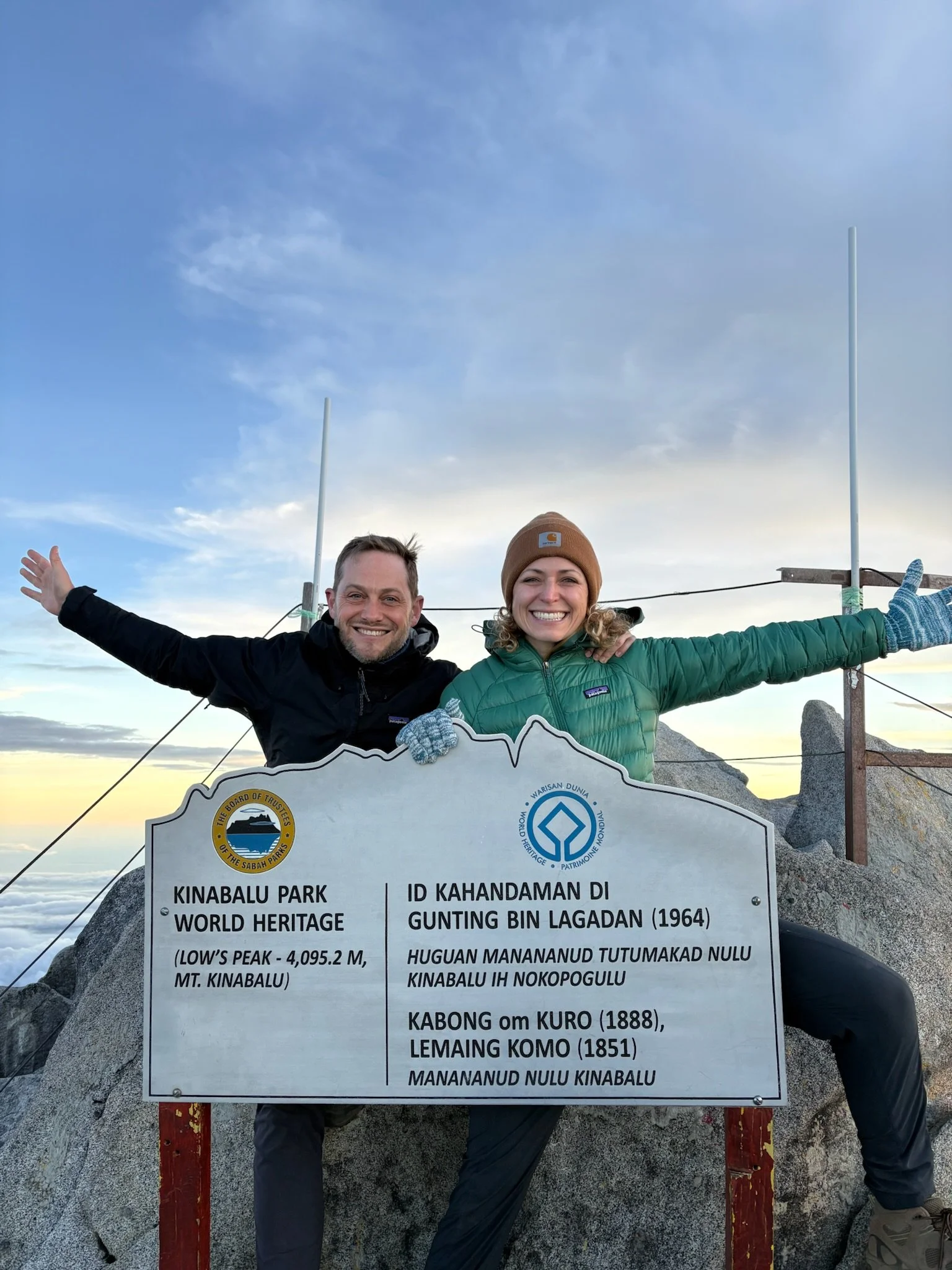
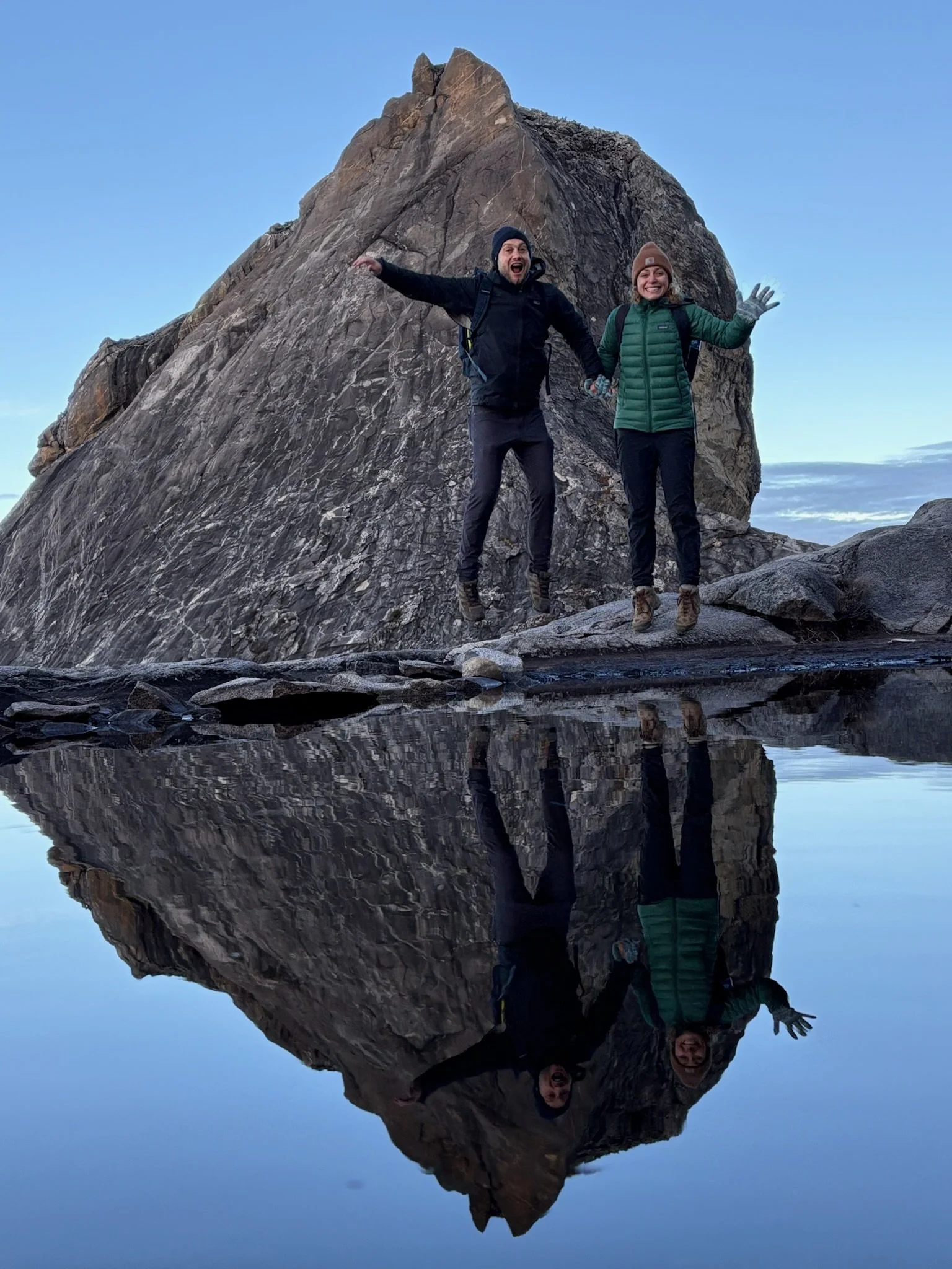
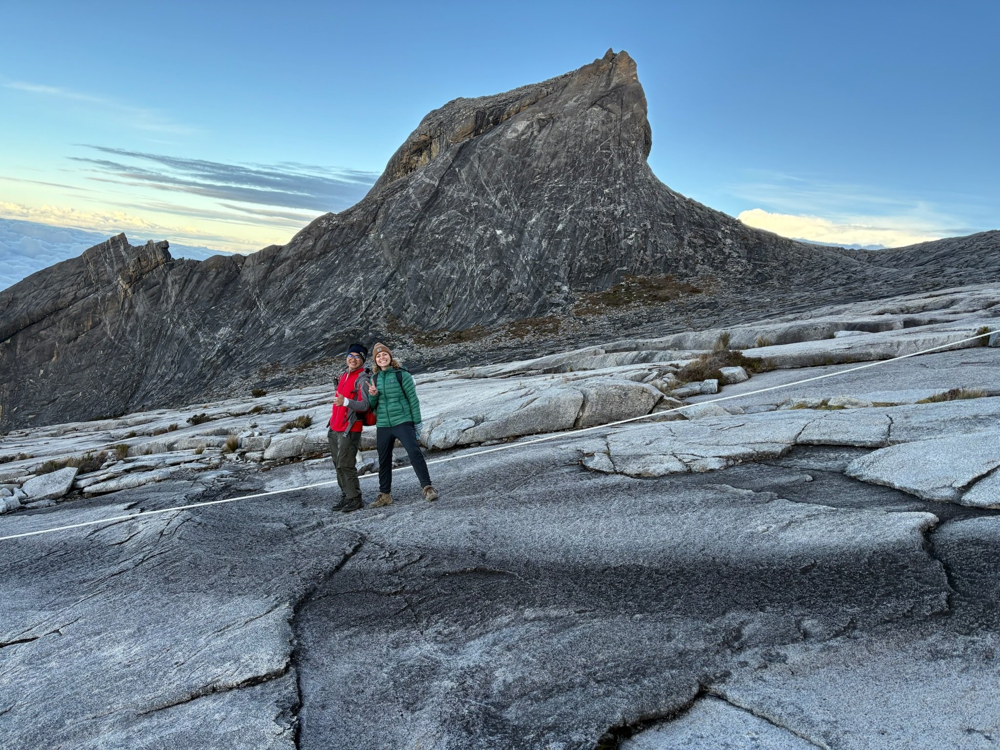
5:30am: Reach the summit in time for sunrise! Elevation: 4,095 meters (13,435 feet).
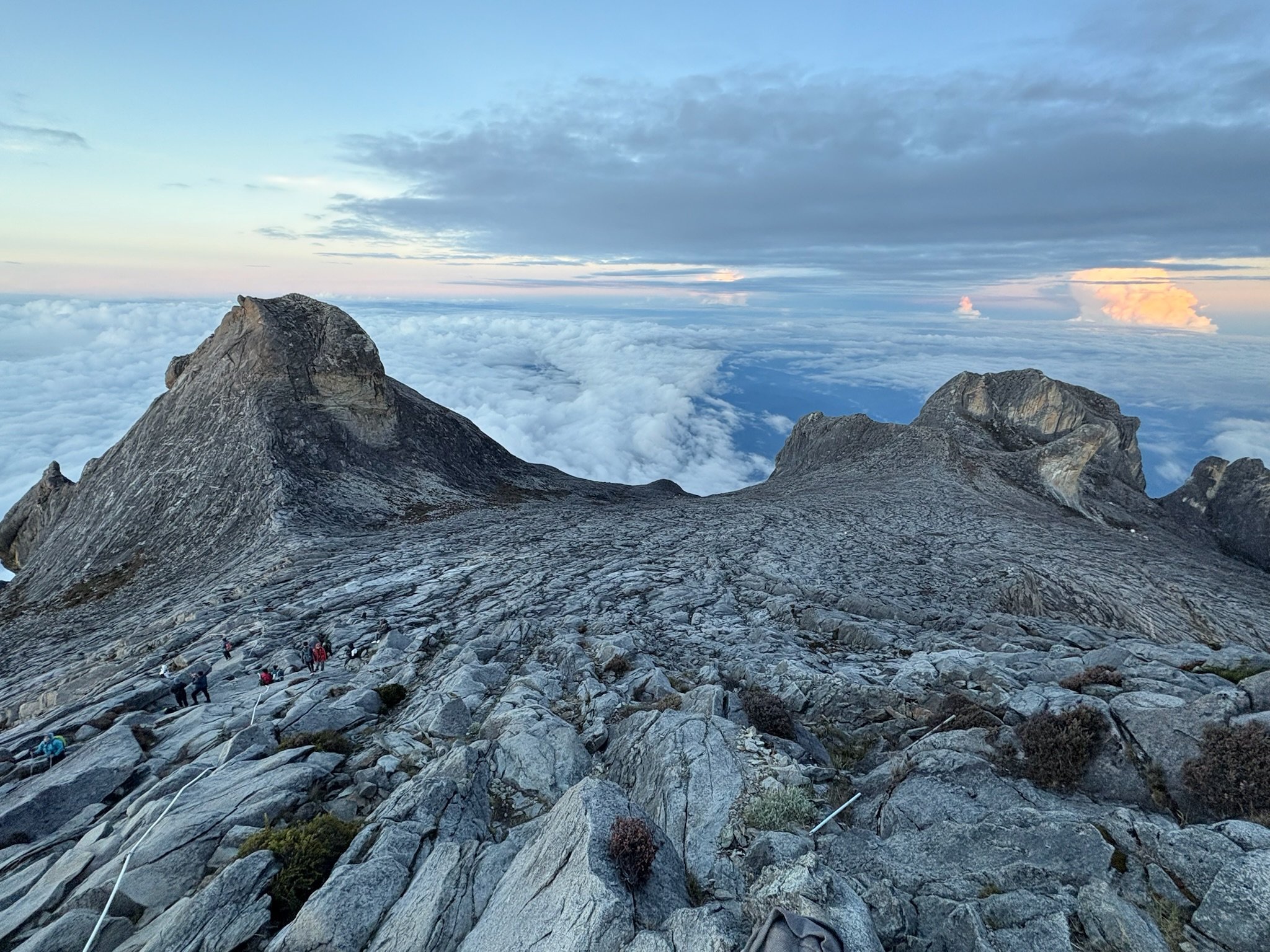
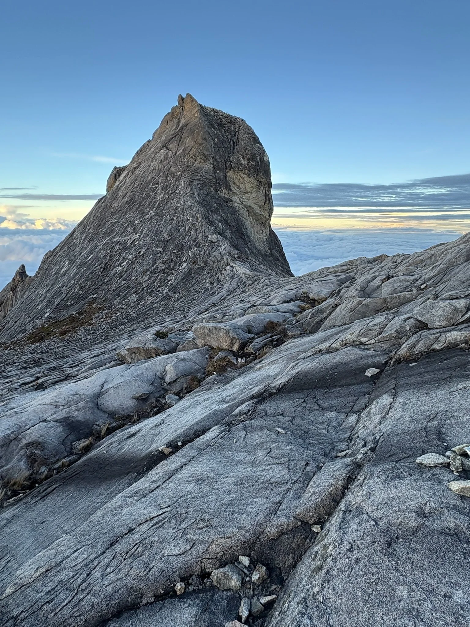
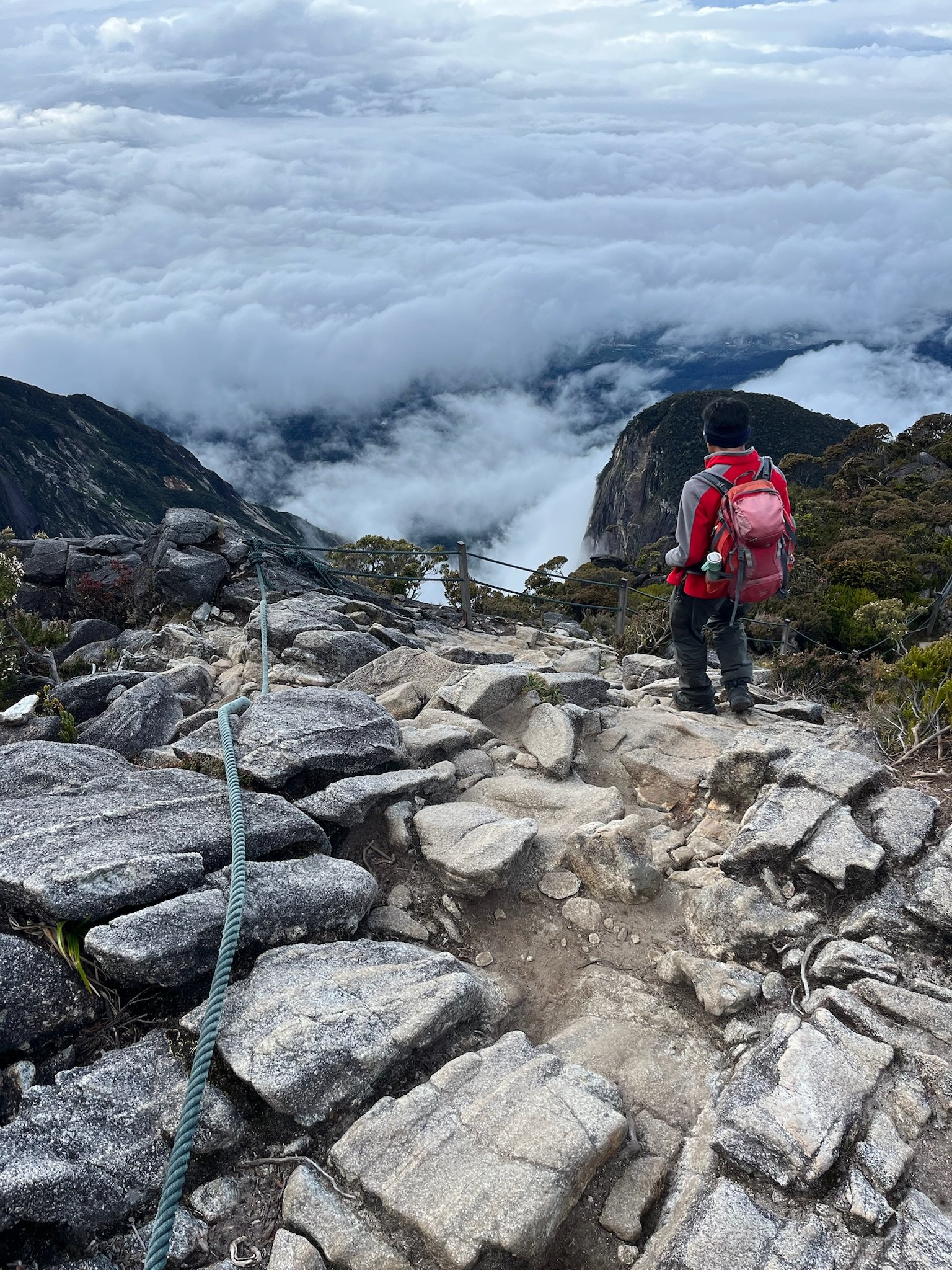
Way above the clouds, it was somehow clear enough to see every mountain peak around us and the moment the sun rose was indescribable. I shed a few tears feeling grateful for this big impossible beautiful world.. as one does.
The mountain is strictly permitted, allowing fewer than 140 climbers a day. Of that number, I’d estimate 30 or so summited in time for sunrise. It felt extraordinarily special to share the moment with the other summit-ers, (primarily tourists from across Asia).
There were also hikers who didn’t make the summit, some who didn’t make it past base camp. On our way up, we saw not one but TWO women getting piggy back rides down the mountain — a service provided by porters at a steep cost, calculated by the kilo. Ouch.
6:30am: Begin our descent, first back to base camp to eat another meal and gather our belongings, and then all the way back to Timphon Gate. 5.5 kilometers, 5.25 miles.
1:30pm: Arrive back at Timphon Gate.
Our assumptions about how long it would take to hike down the mountain (often about half the time it takes to hike up a mountain) were totally off. It was steep and technical enough to keep us moving slowly, and the day’s ascent and descent combined was 10+ hours of consecutive hiking. The most physically and mentally challenging part of the journey was the last will-it-ever-end hour of the day, made harder by the torrential downpour that hit… though we felt incredibly lucky to have been spared the rain for the rest of the journey which is apparently a rarity.
The summit views and the great conversations and laughs with our Dusun guide Laurence will definitely be an around the world trip highlight. Travis brought a deck of Moth Story prompt cards I bought him for his birthday and all three of us got in on the story telling action. The shared laughs and swapping of universal human experiences, as we took in the views and tried our best to breathe, made the whole hike all the more precious.
It also helps to have a partner who pushes you and cares for you along the way, and brings all the snacks and Nuun tablets needed, knowing at least half will be distributed to strangers by his girlfriend because she can’t herself.
Back to KK
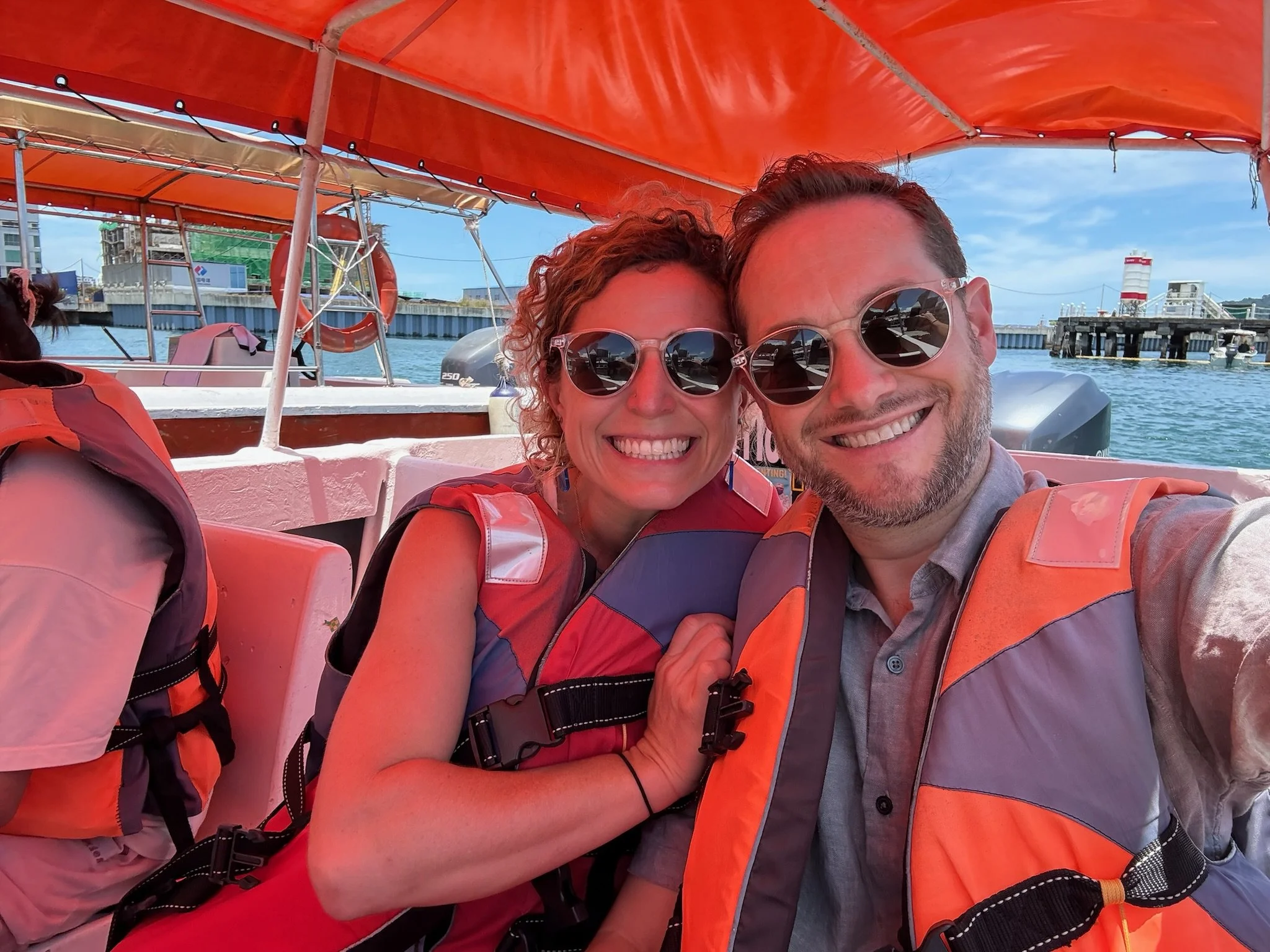
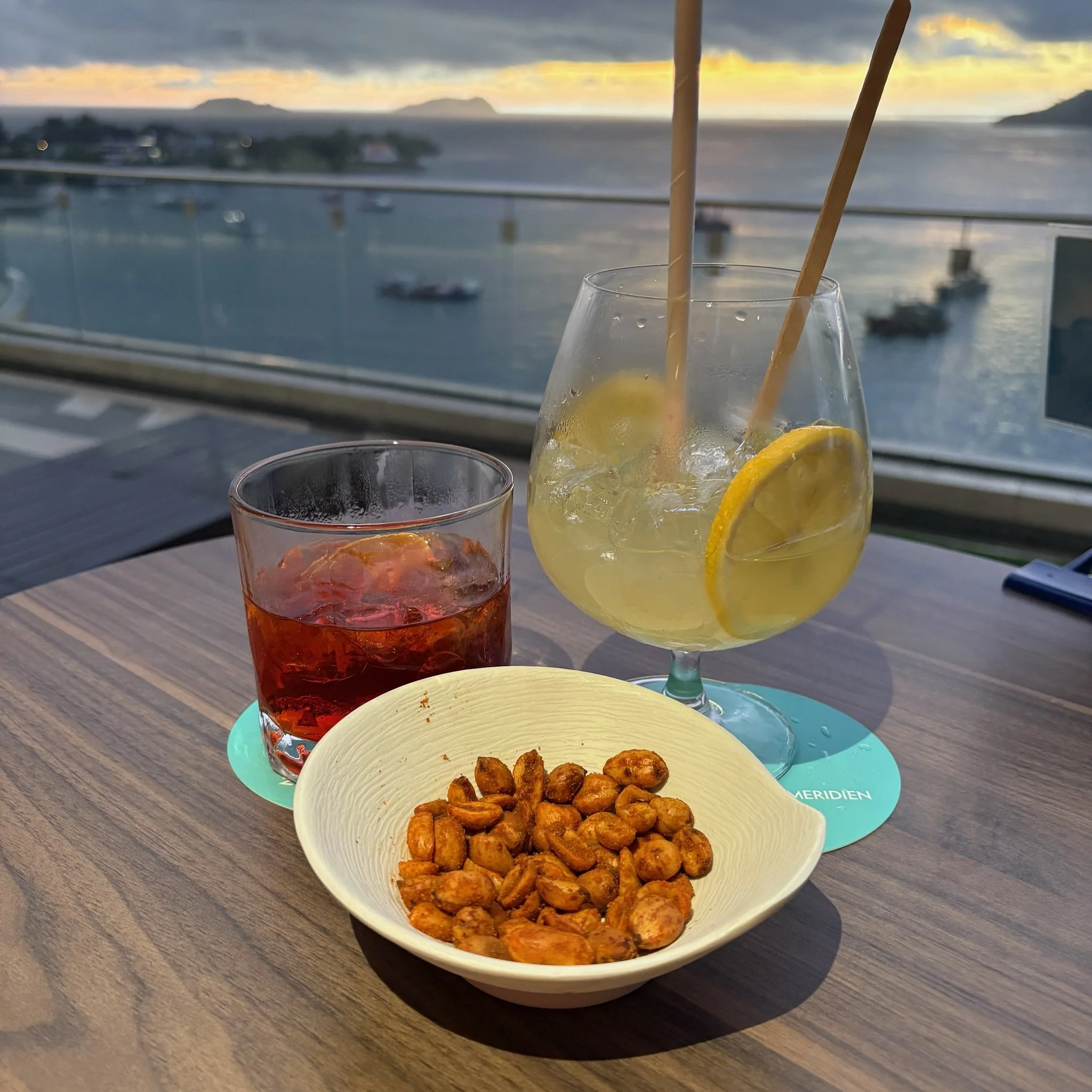
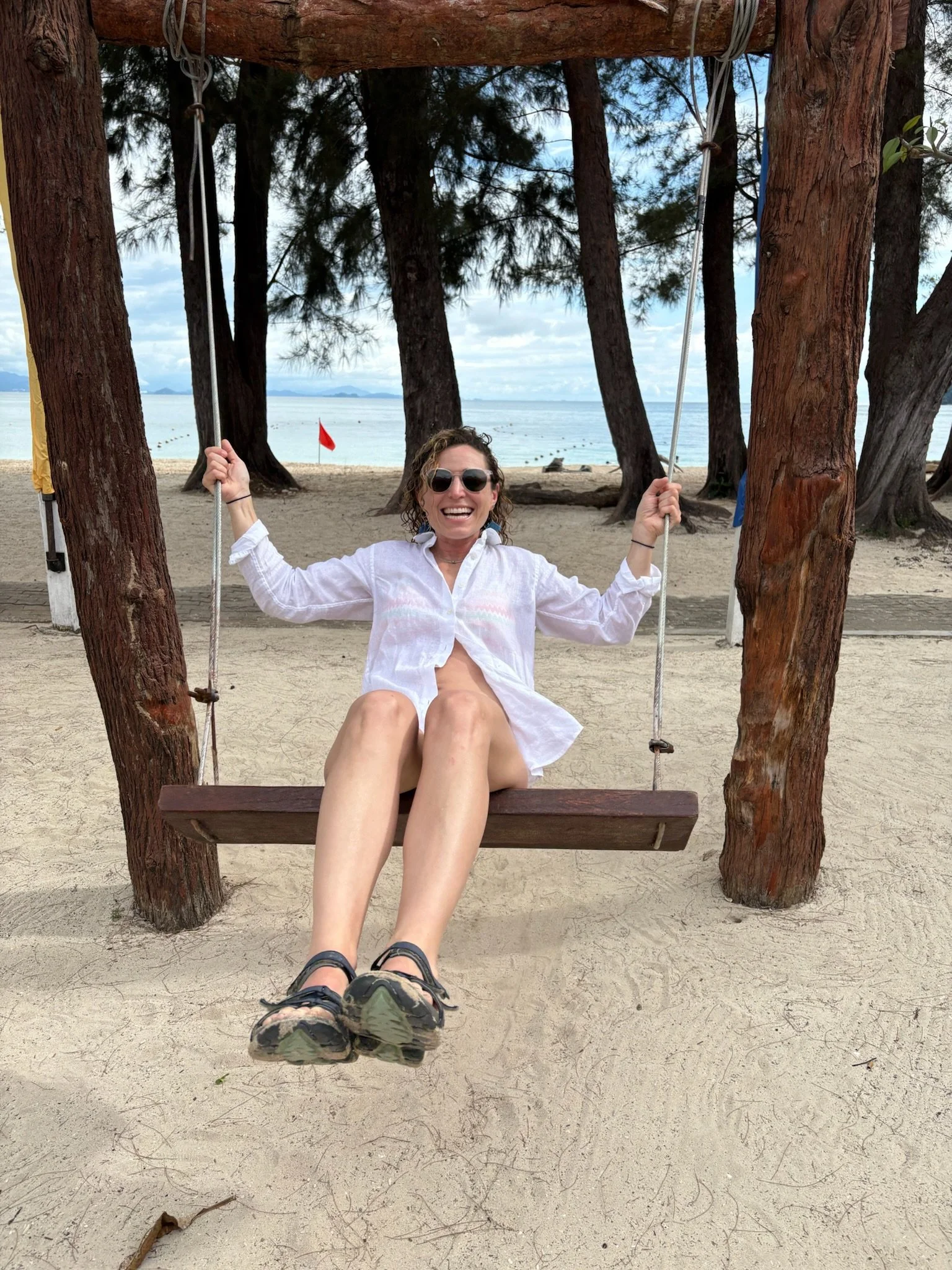
After Mount Kinabalu, we headed back to our beloved hostel-with-a-slide in KK to relax for a few days. It’s a good thing we had nothing to do and nowhere to be because we struggled to walk for a full 48 hours but did manage to drag ourselves to a boat and head out to Manukan Island, one of five islands that make up KK’s Tunku Abdul Rahman National Park off the coast. We relaxed and consumed seafood in KK’s delicious night market (we channeled our inner Anthony Bourdains as we ate spicy seafood and sweated in sticky plastic chairs) for the following couple days, and charted out the next portion of the Borneo adventure. Stay tuned.